About Us
Drone Survey Cost is an independent project built by a solo product designer based in Michigan. We aren’t a massive corporation or a nationwide drone service agency, just a creator with a vision to make aerial data pricing transparent and accessible.


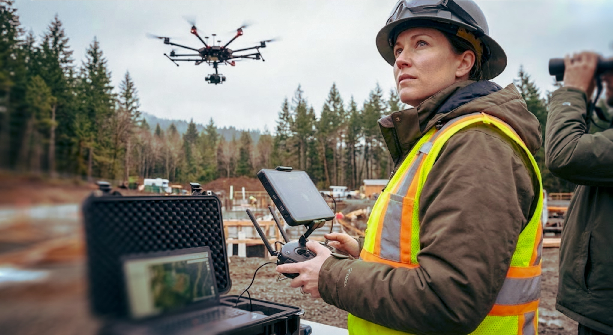
Let’s be clear, we do not fly drones. We are a data-driven platform designed to help you budget for your next project without the guesswork.
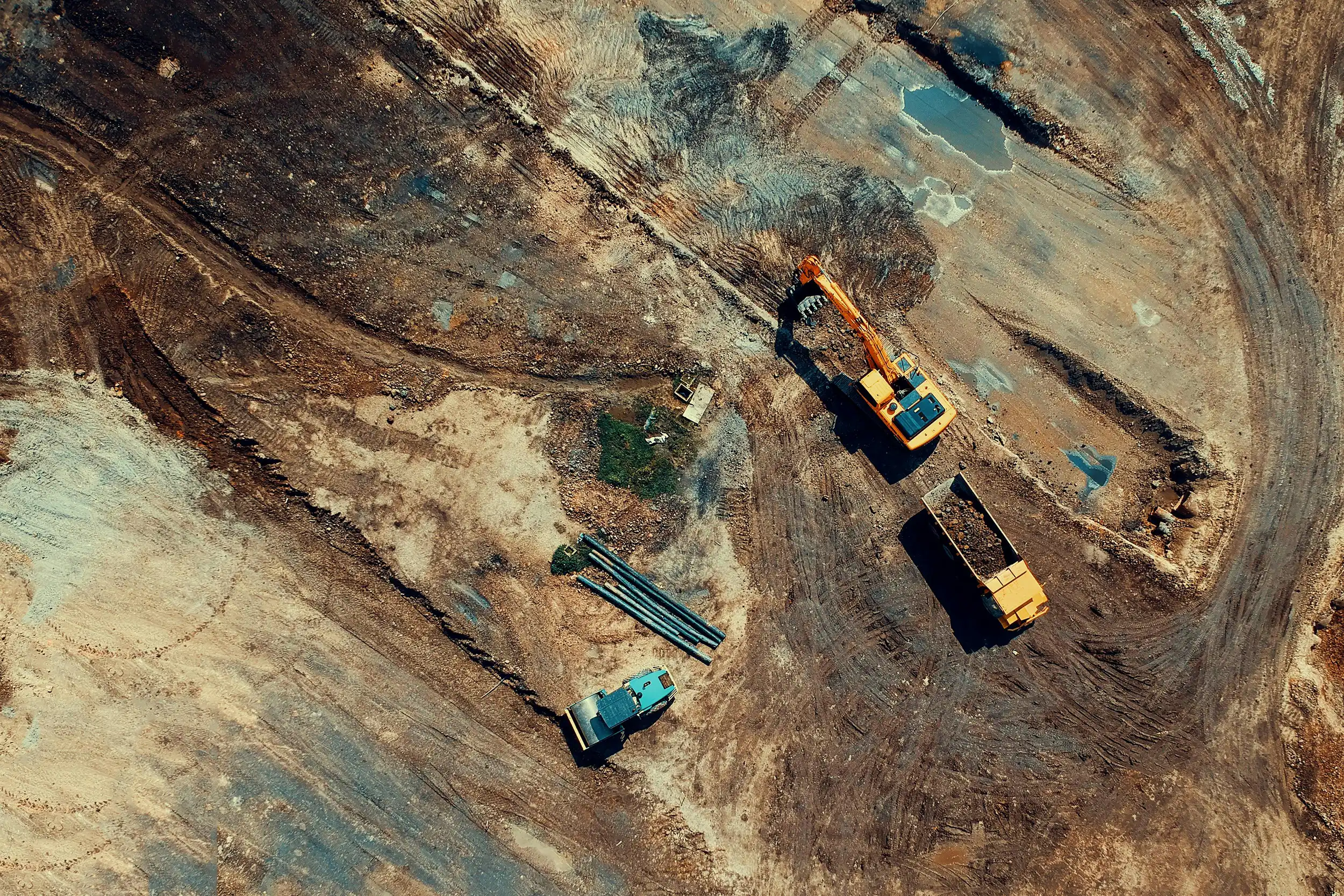
Our pricing models are built on real-world data where possible. We synthesize localized wage metrics from the Bureau of Labor and Statistics with hardware and software costs required for industrial missions. Whether your project requires standard 2D photogrammetry or a dense 3D LiDAR point cloud, our algorithms calculate more accurate industrial-grade cost scenarios.
This entire platform is highly experimental and was built from the ground up utilizing advanced AI tools to synthesize complex industrial benchmarks into an accessible suite of calculators.


Open benchmarks for better planning
Our core analysis suite
We offer three core tools to eliminate budgeting guesswork. Estimate location-specific mission costs, compare traditional ground crews against aerial efficiency, and analyze the financial ROI of bringing your drone program in-house.
Free local matchmaking
We aren’t a drone company trying to upsell you. Our focus is equipping you with baseline numbers, then passing your project details to trusted local pilots at zero cost to you.
Version one
We’ve built these tools to extend the capabilities of traditional project planning. Although our modeling is still maturing, it is designed to be highly iterative, becoming more robust and precise with every new dataset and piece of industry feedback we receive.
Just getting started
We are focused on providing accurate feasibility and cost estimation tools. As the platform grows, we plan to roll out additional resources and features to support the entire drone surveying lifecycle. If you have feedback or questions, contact us at missions@dronesurveycost.com.