Drone survey cost estimator
Smart project planning starts with informed cost expectations. This tool uses 2026 industrial benchmarks to provide a baseline for technical drone mapping. By analyzing your site variables, sensor precision requirements, and processing labor, we help project owners establish a realistic budget before engaging with providers.
This model is designed to strip away the guesswork of early-stage planning, though it is best used as a high-level guide since real-world conditions can introduce unique costs that no calculator can fully predict. Input your site details to instantly see an estimate. Because every program is unique you can edit all the values to match your own research.
Drone Survey Cost Estimator
The framework behind the numbers
This tool functions as a regionally-aware logic engine that translates complex project variables into a realistic budget range. At its core, the model utilizes industrial benchmarks to set a baseline for mobilization, sensor-specific flight time, and data processing.
Once the baseline is established, the engine applies a secondary layer of environmental complexity to account for the physical friction of the job site. Adjusting for complexity effectively adds a multiplier for hazards like active machinery, heavy brush, or mud that would slow down a ground crew.
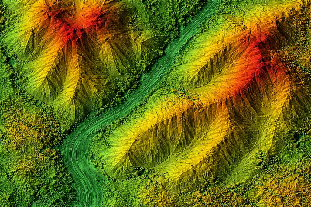
If complex or high-risk environments are selected, the model automatically accounts for the hardware shift, like moving from standard cameras to a LiDAR sensor capable of penetrating heavy tree canopy.
In addition, to reflect business reality, the math enforces a full-day minimum for aerial vendors, so the price stays flat on smaller sites where you are paying for a pilot's availability rather than just their flight minutes.
To move beyond a generic national average, the calculator indexes every estimate against localized Bureau of Labor Statistics (BLS) wage data. The model accounts for differences in the cost of professional labor between high-cost markets like New York or California and lower-cost regions like Michigan. By aligning the flight variables with these real-world economic indicators, the tool provides a defensible feasibility range tailored to your project’s geography.
While our calculator provides a localized baseline, we’ve identified five variables that can impact the quote you receive from a service provider.
Sensor Type (RGB vs. LiDAR)
The payload is the single biggest cost driver. Standard photogrammetry (RGB) uses high-resolution cameras to stitch together visual maps, which is cost-effective for open terrain. LiDAR, however, uses laser pulses to penetrate vegetation and creates 3D point clouds with sub-centimeter accuracy. LiDAR hardware is significantly more expensive to operate and process, typically increasing project costs by 30-50%.
Deliverable Complexity
A raw orthomosaic (a massive, geo-rectified image) is standard and relatively cheap to process. However, if you require CAD linework, where items like curbs, manholes, and utilities from the drone data are traced, the cost rises.
Site Access and Congestion
A 10-acre survey in a flat, rural cornfield is a simple automated flight. That same 10-acre survey in a busy urban corridor or an active construction site requires advanced risk management, visual observers, and complex flight planning. High-risk environments increase liability and time-on-site, which is reflected in the pilot or firm’s day rate.
Accuracy Requirements (GCPs)
For survey-grade accuracy (closer than 0.1 ft), pilots often lay ground control points (GCPs) and measure them with an RTK rover before flying. This ground truth step adds field labor to the project but it may be necessary for legal surveys, engineering, and construction staking.
Mobilization and Geography
Travel time is often the hidden cost in freelance quotes. Hiring a company or drone pilot who lives 15 minutes away is vastly cheaper than paying a firm to drive 4 hours round-trip. Local proximity is a great way to lower your mobilization fees.